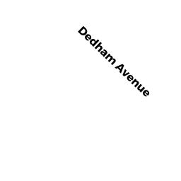
311 DEDHAM AVE
Owner Information
LILJA, JONATHAN E
6 BAYRIDGE LN
ROCKPORT, MA 01966


Property Details
311 DEDHAM AVE is classified as a Single Family Residential (Gr).
The primary structure on this property was built in 1953. There are 624ft2 of built area within this property. There is 1,274ft2 of residential/living space within this property. This property is listed as having 6 rooms.
311 DEDHAM AVE is valued at $647,300. The land is valued at $490,000 and the structures are valued at $157,300.
This property is in Zone SRB. Confirm with local Zoning Board authorities to ensure there are no overlays or other easements on this property.
311 DEDHAM AVE was last sold on Wednesday, June 30, 2021 for $717,500.
Assessment data from fiscal year 2022.
Flood Data
According to the FEMA National Flood Hazard Layer, this property does not appear to be in a flood zone. It may also be in an area not yet reviewed. Nonetheless, confirm this information prior to taking any action.
To view the flood hazards around this property, create a FEMA "Firmette" Map of the area around 311 DEDHAM AVE.
Broadband Internet Providers
| Provider | Type | Bandwidth (mbps) | |
|---|---|---|---|
| RCN | Cable | 1000 | 20 |
| Comcast | Cable | 1000 | 35 |
| Verizon New England Inc. | DSL | 7 | 0 |
| Viasat Inc | Satellite | 100 | 3 |
| VSAT Systems, LLC. | Satellite | 2 | 1 |
| HughesNet | Satellite | 25 | 3 |
| GCI Communication Corp. | Satellite | 0 | 0 |
| RCN | Cable | 500 | 20 |
| Verizon New England Inc. | Fiber | 940 | 880 |
Broadband service provider data from December 2020.
Adjacent Properties
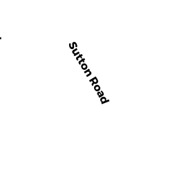
- 92 SUTTON RD
Single Family Residential owned by BELIBASAKIS, EMMANUEL G. & - 104 SUTTON RD
Single Family Residential owned by NOONE, MATTHEW S. & - 98 SUTTON RD
Single Family Residential owned by DEWEY, STEPHEN L. & - 317 DEDHAM AVE
Single Family Residential owned by GRINTCHENKO, LEONID & - 305 DEDHAM AVE
Single Family Residential owned by JAMMALAMADAKA, PADMA SRI &